


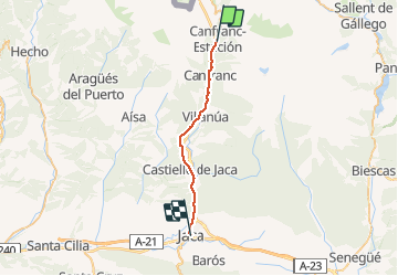
16.05.17 Cafranc Estacion Jaca

donda
User GUIDE

Length
24 km

Max alt
1191 m

Uphill gradient
262 m
Km-Effort
29 km

Min alt
784 m

Downhill gradient
624 m
Boucle
No
Creation date :
2018-08-18 15:16:14.684
Updated on :
2018-08-18 15:17:46.891
6h05
Difficulty : Very difficult

FREE GPS app for hiking
 SityTrail
IGN / Geographical institutes
SityTrail Plus
The world is yours!
About
Trail Walking of 24 km to be discovered at Aragon, Huesca, Canfranc. This trail is proposed by donda.
Positioning
Country:
Spain
Region :
Aragon
Department/Province :
Huesca
Municipality :
Canfranc
Location:
Unknown
Start:(Dec)
Start:(UTM)
703309 ; 4735874 (30T) N.
Comments