


sortie vtt du 19082018 rambervillers

fabwin
User GUIDE
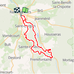

Length
30 km

Max alt
415 m

Uphill gradient
557 m
Km-Effort
37 km

Min alt
283 m

Downhill gradient
556 m
Boucle
Yes
Creation date :
2018-08-19 07:20:02.938
Updated on :
2018-08-19 12:20:02.568
3h08
Difficulty : Medium

FREE GPS app for hiking
 SityTrail
IGN / Geographical institutes
SityTrail Plus
The world is yours!
About
Trail Mountain bike of 30 km to be discovered at Grand Est, Vosges, Rambervillers. This trail is proposed by fabwin.
Description
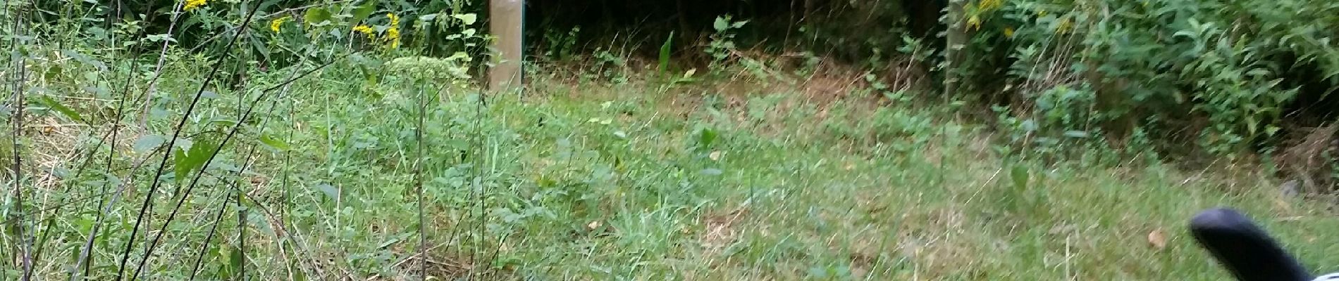
Super sortie avec Séb & Maxime.
Beaucoup de single, des jolis paysages sous les sapins.
A refaire.
Photos


Positioning
Country:
France
Region :
Grand Est
Department/Province :
Vosges
Municipality :
Rambervillers
Location:
Unknown
Start:(Dec)
Start:(UTM)
324967 ; 5356663 (32U) N.
Comments