


Seychalles_Courcourt

jagarnier
User GUIDE
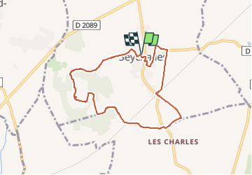


2h15
Difficulty : Easy

FREE GPS app for hiking
 SityTrail
IGN / Geographical institutes
SityTrail Plus
The world is yours!
About
Trail Walking of 7.7 km to be discovered at Auvergne-Rhône-Alpes, Puy-de-Dôme, Seychalles. This trail is proposed by jagarnier.
Description
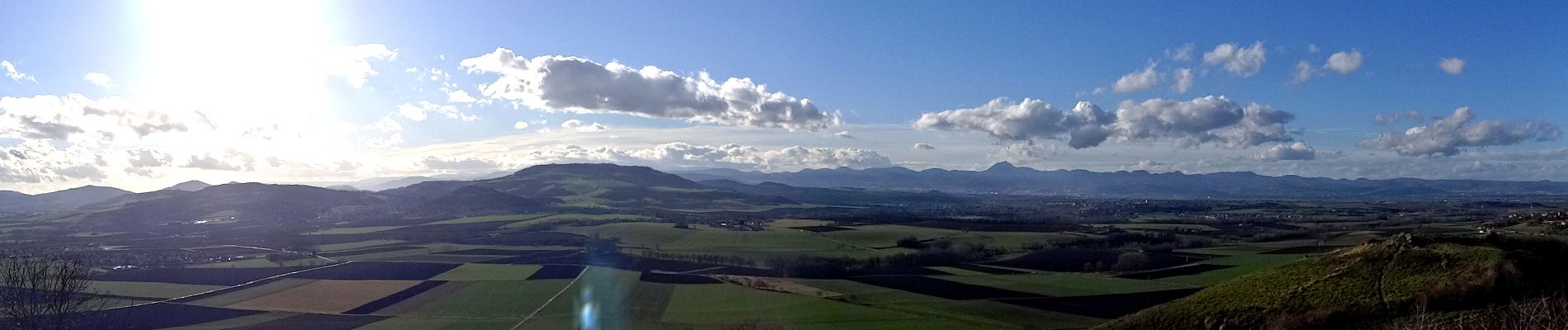
De la tour de Courcourt, par temps clair, vous aurez un des plus beaux points de vue panoramique sur la chaîne des Puys et les monts du Livradois-Forez. Vous pourrez aussi contempler la plaine de la Limagne avec les châteaux de Mauzun et de Ravel.,
Photos

Positioning
Comments