


Py J105

Airelle
User
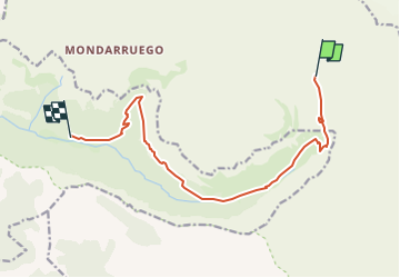

Length
12.6 km

Max alt
2193 m

Uphill gradient
622 m
Km-Effort
24 km

Min alt
1307 m

Downhill gradient
1490 m
Boucle
No
Creation date :
2018-08-25 07:15:57.117
Updated on :
2018-08-25 07:21:49.337
44m
Difficulty : Easy

FREE GPS app for hiking
 SityTrail
IGN / Geographical institutes
SityTrail Plus
The world is yours!
About
Trail Walking of 12.6 km to be discovered at Aragon, Huesca, Fanlo. This trail is proposed by Airelle.
Positioning
Country:
Spain
Region :
Aragon
Department/Province :
Huesca
Municipality :
Fanlo
Location:
Unknown
Start:(Dec)
Start:(UTM)
255385 ; 4727761 (31T) N.
Comments