


Olloy 2018 - 60km : 1400m

D4Y.be
User
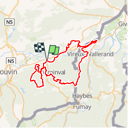

Length
62 km

Max alt
374 m

Uphill gradient
1397 m
Km-Effort
81 km

Min alt
112 m

Downhill gradient
1403 m
Boucle
No
Creation date :
2018-09-02 06:03:58.148
Updated on :
2018-09-02 15:25:43.916
4h23
Difficulty : Difficult

FREE GPS app for hiking
 SityTrail
IGN / Geographical institutes
SityTrail Plus
The world is yours!
About
Trail Mountain bike of 62 km to be discovered at Wallonia, Namur, Viroinval. This trail is proposed by D4Y.be.
Description
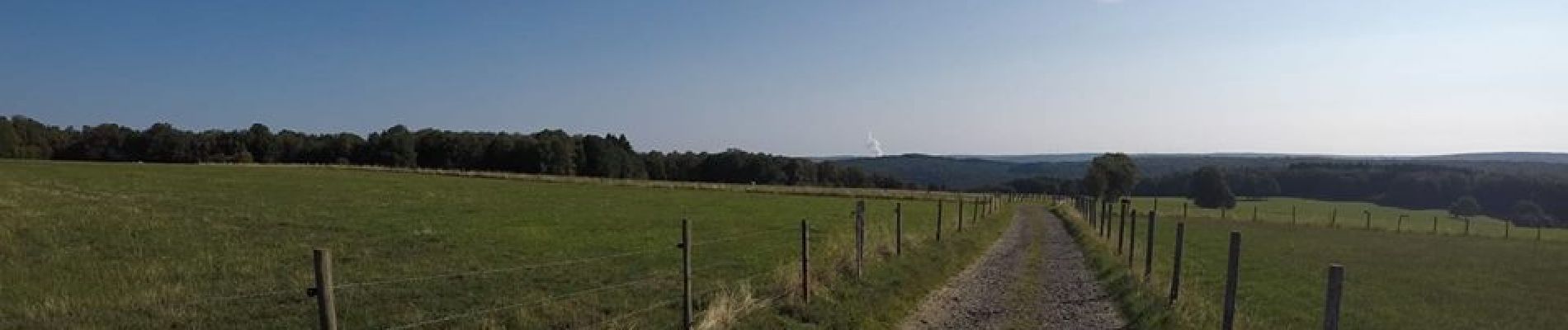
Seule la vallée du Viroin, située entre Calestienne et forêt ardennaise peut offrir une telle diversité de paysages. Le paradis pour bikers… c’est bien chez nous que vous le trouverez !
Photos


Positioning
Country:
Belgium
Region :
Wallonia
Department/Province :
Namur
Municipality :
Viroinval
Location:
Olloy-sur-Viroin
Start:(Dec)
Start:(UTM)
615075 ; 5547796 (31U) N.
Comments