


jocou

vertygo
User
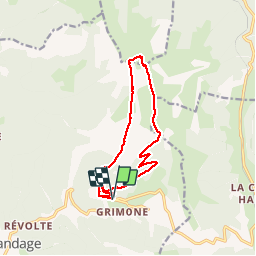

Length
13.6 km

Max alt
2034 m

Uphill gradient
821 m
Km-Effort
25 km

Min alt
1213 m

Downhill gradient
826 m
Boucle
Yes
Creation date :
2018-09-04 19:40:57.5
Updated on :
2018-09-04 19:47:23.517
4h57
Difficulty : Very difficult

FREE GPS app for hiking
 SityTrail
IGN / Geographical institutes
SityTrail Plus
The world is yours!
About
Trail Walking of 13.6 km to be discovered at Auvergne-Rhône-Alpes, Drôme, Glandage. This trail is proposed by vertygo.
Description
Départ du 1er lacet au-dessus de Grimone - boucle sens anti-horaire
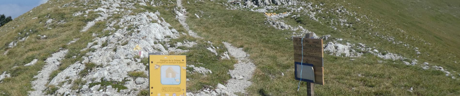
Photos

Positioning
Country:
France
Region :
Auvergne-Rhône-Alpes
Department/Province :
Drôme
Municipality :
Glandage
Location:
Unknown
Start:(Dec)
Start:(UTM)
708596 ; 4952928 (31T) N.
Comments