


may

vertygo
User
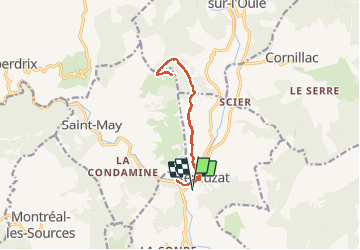

Length
12.9 km

Max alt
1039 m

Uphill gradient
718 m
Km-Effort
22 km

Min alt
441 m

Downhill gradient
717 m
Boucle
Yes
Creation date :
2018-09-04 20:03:04.69
Updated on :
2018-09-04 20:05:54.352
4h33
Difficulty : Very difficult

FREE GPS app for hiking
 SityTrail
IGN / Geographical institutes
SityTrail Plus
The world is yours!
About
Trail Walking of 12.9 km to be discovered at Auvergne-Rhône-Alpes, Drôme, Rémuzat. This trail is proposed by vertygo.
Description
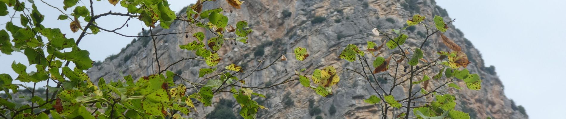
randonnée A/R au-dessus de Remuzat
Photos


Positioning
Country:
France
Region :
Auvergne-Rhône-Alpes
Department/Province :
Drôme
Municipality :
Rémuzat
Location:
Unknown
Start:(Dec)
Start:(UTM)
687307 ; 4920189 (31T) N.
Comments