Trail Walking Beauregard-l'Évêque - 
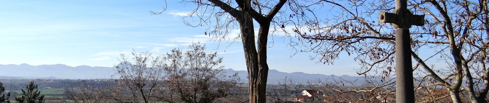
Beauregard_St_Aventin - Photo
 jagarnier
jagarnier

User GUIDE

© OpenStreetMap contributors
Length
Length
8.9 km
Max alt
Max alt
390 m
Uphill gradient
Uphill gradient
134 m
Km-Effort
Km-Effort  
10.7 km
Min alt
Min alt
298 m
Downhill gradient
Downhill gradient
134 m
Boucle
Boucle
Yes
Creation date :
2018-09-08 04:17:44.815
Updated on :
2025-07-10 16:18:54.088

(1 Reviews)

Walking
Walking
2h30
Difficulty : Easy

Scan this QR Code to open this trail in the SityTrail application

FREE GPS app for hiking

Logo SityTrail SityTrail

IGN / Geographical institutes

Download SityTrail from the App Store Download SityTrail from Google Play

Logo SityTrail SityTrail Plus

The world is yours!

Download SityTrail from the App Store Download SityTrail from Google Play Download SityTrail on Huawei AppGallery

About

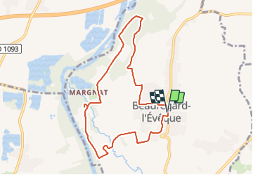
Trail Walking of 8.9 km to be discovered at Auvergne-Rhône-Alpes, Puy-de-Dôme, Beauregard-l'Évêque. This trail is proposed by jagarnier.

Description

Depuis les rives de l'Allier, on découvre la Limagne et Beauregard-l'Évêque, ancien lieu de villégiature des évêques de Clermont qui conserve de beaux vestiges comme le château et la chapelle Saint-Aventin, une des plus anciennes chapelles d'Auvergne.

Elevation profile

Photos

Positioning

Country:
France
Region :
Auvergne-Rhône-Alpes
Department/Province :
Puy-de-Dôme
Municipality :
Beauregard-l'Évêque
Location:
Unknown
Start:(UTM)
523255 ; 5073242 (31T) N.

Comments

Please log in to post a review or rate the element


Close
My subscriptions