


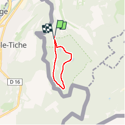

3.9 km | 5.4 km-effort


Randonnées de Visit Luxembourg. GUIDE+


FREE GPS app for hiking
 SityTrail
IGN / Geographical institutes
SityTrail World
The world is yours!
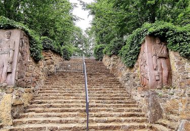
Trail Walking of 3.2 km to be discovered at Unknown, Canton Esch-sur-Alzette, Esch-sur-Alzette. This trail is proposed by Visit Luxembourg.
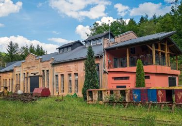
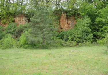
Ellergronn
On foot
On foot
On foot
On foot

Mountain bike
On foot

On foot
On foot
On foot