


Rando VTT des Verts de Terre 2018 - 70KM : 1200m

D4Y.be
User
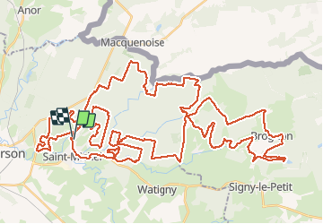

Length
76 km

Max alt
322 m

Uphill gradient
1213 m
Km-Effort
92 km

Min alt
179 m

Downhill gradient
1206 m
Boucle
Yes
Creation date :
2018-09-16 05:51:34.105
Updated on :
2018-09-16 15:09:57.501
4h52
Difficulty : Medium

FREE GPS app for hiking
 SityTrail
IGN / Geographical institutes
SityTrail Plus
The world is yours!
About
Trail Mountain bike of 76 km to be discovered at Hauts-de-France, Aisne, Saint-Michel. This trail is proposed by D4Y.be.
Description
Rando organisée le 16/09/2018, 70KM et 1200 m de dénivelé annoncé au départ. Au GPS , c'est un peu différent: 76km pour 1206m de dénivelé.
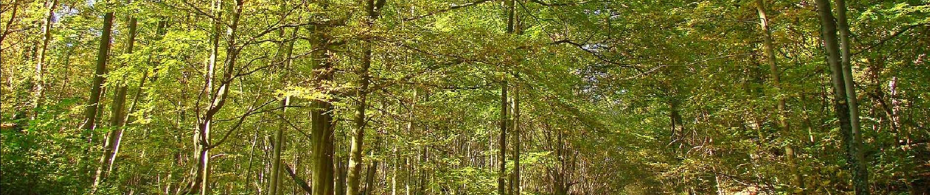
Parcours sympa entre Brogon et Saint MIchel.
Photos


Positioning
Country:
France
Region :
Hauts-de-France
Department/Province :
Aisne
Municipality :
Saint-Michel
Location:
Unknown
Start:(Dec)
Start:(UTM)
581510 ; 5531171 (31U) N.
Comments