Trail Mountain bike Saint-Clément - activity_3018470791 - Photo
 fabwin
fabwin

User GUIDE

© OpenStreetMap contributors
Length
Length
51 km
Max alt
Max alt
299 m
Uphill gradient
Uphill gradient
531 m
Km-Effort
Km-Effort  
58 km
Min alt
Min alt
215 m
Downhill gradient
Downhill gradient
532 m
Boucle
Boucle
Yes
Creation date :
2018-09-16 16:38:34.137
Updated on :
2018-09-16 16:58:22.912

(0 Reviews)

Mountain bike
Mountain bike
--
Difficulty : Unknown

Scan this QR Code to open this trail in the SityTrail application

FREE GPS app for hiking

Logo SityTrail SityTrail

IGN / Geographical institutes

Download SityTrail from the App Store Download SityTrail from Google Play

Logo SityTrail SityTrail Plus

The world is yours!

Download SityTrail from the App Store Download SityTrail from Google Play Download SityTrail on Huawei AppGallery

About

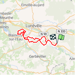
Trail Mountain bike of 51 km to be discovered at Grand Est, Meurthe-et-Moselle, Saint-Clément. This trail is proposed by fabwin.

Description

Sortie écourtée, mais intéressante. A revoir les sentiers dans la forêt de Vitrimont!
Avec Ange et David
Ange mal au jambe donc obligé de racourcir la fin, les 60 km seront pour une autre fois!

Elevation profile

Positioning

Country:
France
Region :
Grand Est
Department/Province :
Meurthe-et-Moselle
Municipality :
Saint-Clément
Location:
Unknown
Start:(UTM)
323029 ; 5378539 (32U) N.


Close
My subscriptions