


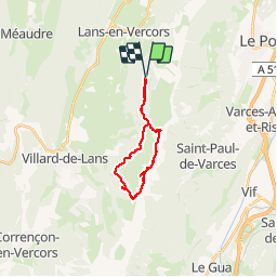

8 km | 13.4 km-effort

User


FREE GPS app for hiking
 SityTrail
IGN / Geographical institutes
SityTrail World
The world is yours!
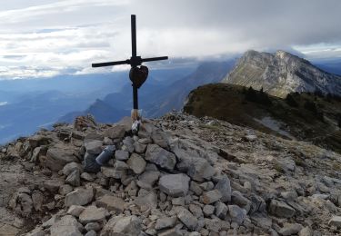
Trail Walking of 18.6 km to be discovered at Auvergne-Rhône-Alpes, Isère, Lans-en-Vercors. This trail is proposed by patjobou.
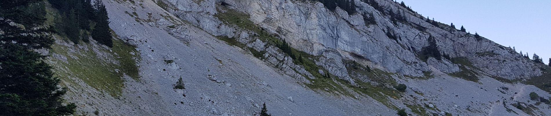
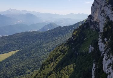
Une très belle, longue, boucle, par le Col de l'Arc, le balcon Est, le Roc Cornafion, le Col Vert, et retour par le sentier Gobert. A n'entreprendre que par très beau temps et terrain sec. Merci à Geba pour son itinéraire sur Trace Gps ou Sentier Nature.com. Attention, après le passage dans le trou de la pierre percée, bien prendre le chemin supérieur, et non celui qui descend, comme nous avons fait; ce qui évite de remonter pour retrouver le sentier plus loin. Merci gps (La bonne trace est celle de TraceGPS). Le sentier pour monter au Cornafion, puis vers le col Vert est assez aérien; Escalade facile, mais exposée pour accéder aux deux sommets du Roc.


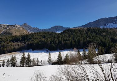
Snowshoes

Walking
Walking
Walking
Walking

Walking

Snowshoes

Walking

Walking
Superbes photos ! merci