


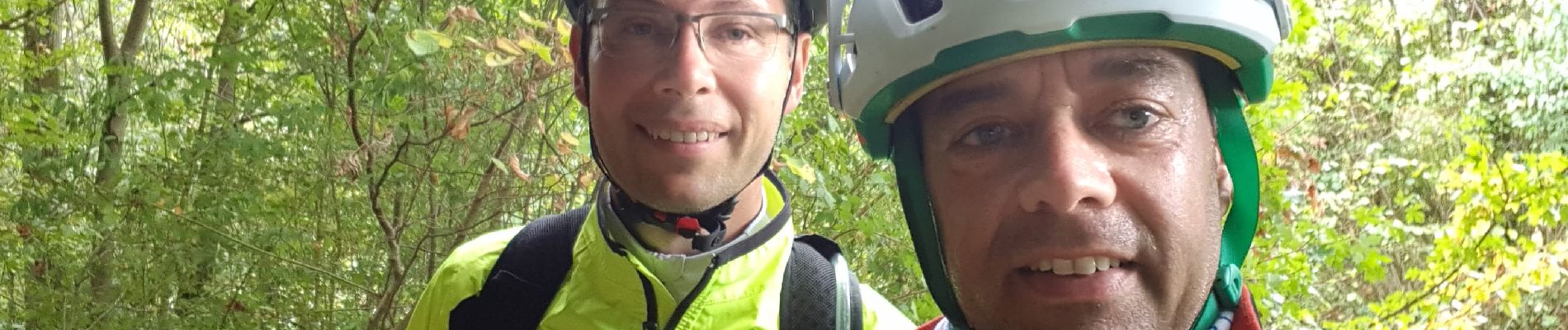
sortie vtt du 23092018

fabwin
User GUIDE
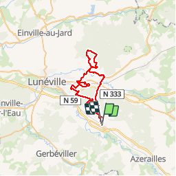

Length
43 km

Max alt
299 m

Uphill gradient
335 m
Km-Effort
48 km

Min alt
224 m

Downhill gradient
333 m
Boucle
No
Creation date :
2018-09-23 06:57:46.237
Updated on :
2018-09-23 14:22:49.717
2h40
Difficulty : Medium

FREE GPS app for hiking
 SityTrail
IGN / Geographical institutes
SityTrail Plus
The world is yours!
About
Trail Mountain bike of 43 km to be discovered at Grand Est, Meurthe-et-Moselle, Saint-Clément. This trail is proposed by fabwin.
Description
Dans la plaine de Lunéville Est. quelques chemins pas mal mais bon cela n'est pas du single.
Photos


Positioning
Country:
France
Region :
Grand Est
Department/Province :
Meurthe-et-Moselle
Municipality :
Saint-Clément
Location:
Unknown
Start:(Dec)
Start:(UTM)
322966 ; 5378334 (32U) N.
Comments