


olivieraron
User
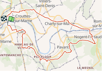

Length
25 km

Max alt
189 m

Uphill gradient
452 m
Km-Effort
31 km

Min alt
53 m

Downhill gradient
456 m
Boucle
Yes
Creation date :
2018-09-23 15:01:33.804
Updated on :
2018-09-23 15:01:33.804

FREE GPS app for hiking
 SityTrail
IGN / Geographical institutes
SityTrail Plus
The world is yours!
About
Trail of 25 km to be discovered at Ile-de-France, Seine-et-Marne, Saâcy-sur-Marne. This trail is proposed by olivieraron.
Positioning
Country:
France
Region :
Ile-de-France
Department/Province :
Seine-et-Marne
Municipality :
Saâcy-sur-Marne
Location:
Unknown
Start:(Dec)
Start:(UTM)
516186 ; 5424563 (31U) N.
Comments