


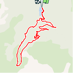

11.5 km | 17 km-effort

User


FREE GPS app for hiking
 SityTrail
IGN / Geographical institutes
SityTrail World
The world is yours!
Trail Walking of 12.9 km to be discovered at Occitania, Ariège, Aston. This trail is proposed by c.chehere.
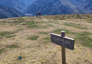
Garer la voiture à la chambre des vannes du barrage de Riète (possibilité de parking au dessus de la centrale de Laparan un peu plus loin).
Remonter la route menant au lac de Laparan, prendre une route forestière partant sur la droite.
Remonter celle-ci jusqu'au parking terminal.
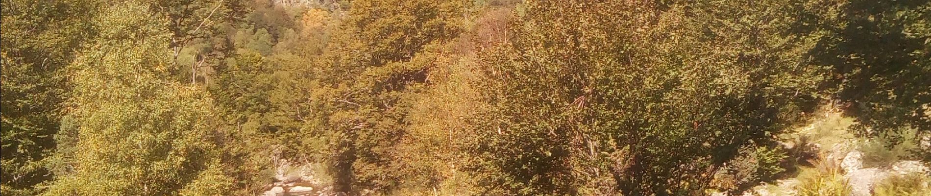
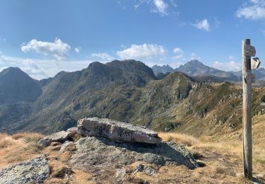
Continuer par un petit sentier balisé en orange "le chemin de Jojo" voir photo.
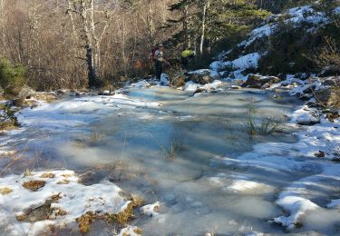
le sentier continue en traversée sous le pic du col de Gos et débouche sur une jasse traversée par le ruisseau de Quioulès.
A un pont prendre le sentier (balisé vert) qui redescend sur la centrale de Laparan et le parking.


Nordic walking
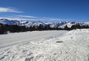
Snowshoes

Walking
Walking
Walking
Snowshoes
Walking