


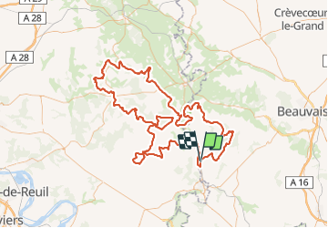
Trace rando Brayonne du 6 octobre

olivieraron
User

Length
170 km

Max alt
246 m

Uphill gradient
2304 m
Km-Effort
201 km

Min alt
54 m

Downhill gradient
2299 m
Boucle
No
Creation date :
2018-10-04 09:38:18.768
Updated on :
2018-10-04 09:40:36.507

FREE GPS app for hiking
 SityTrail
IGN / Geographical institutes
SityTrail Plus
The world is yours!
About
Trail of 170 km to be discovered at Hauts-de-France, Oise, Sérifontaine. This trail is proposed by olivieraron.
Points of interest


Positioning
Country:
France
Region :
Hauts-de-France
Department/Province :
Oise
Municipality :
Sérifontaine
Location:
Unknown
Start:(Dec)
Start:(UTM)
411048 ; 5465080 (31U) N.
Comments