


St_Germain_Beal_Pige

jagarnier
User GUIDE


Length
9.3 km

Max alt
480 m

Uphill gradient
98 m
Km-Effort
10.6 km

Min alt
405 m

Downhill gradient
98 m
Boucle
Yes
Creation date :
2018-10-05 12:14:13.136
Updated on :
2022-08-06 04:02:30.442
2h45
Difficulty : Medium

FREE GPS app for hiking
 SityTrail
IGN / Geographical institutes
SityTrail Plus
The world is yours!
About
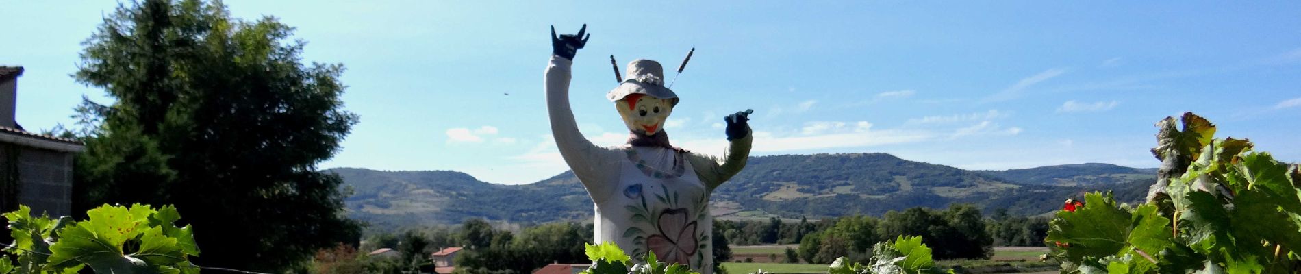
Trail Walking of 9.3 km to be discovered at Auvergne-Rhône-Alpes, Puy-de-Dôme, Saint-Germain-Lembron. This trail is proposed by jagarnier.
Photos

Positioning
Country:
France
Region :
Auvergne-Rhône-Alpes
Department/Province :
Puy-de-Dôme
Municipality :
Saint-Germain-Lembron
Location:
Unknown
Start:(Dec)
Start:(UTM)
518559 ; 5033773 (31T) N.
Comments