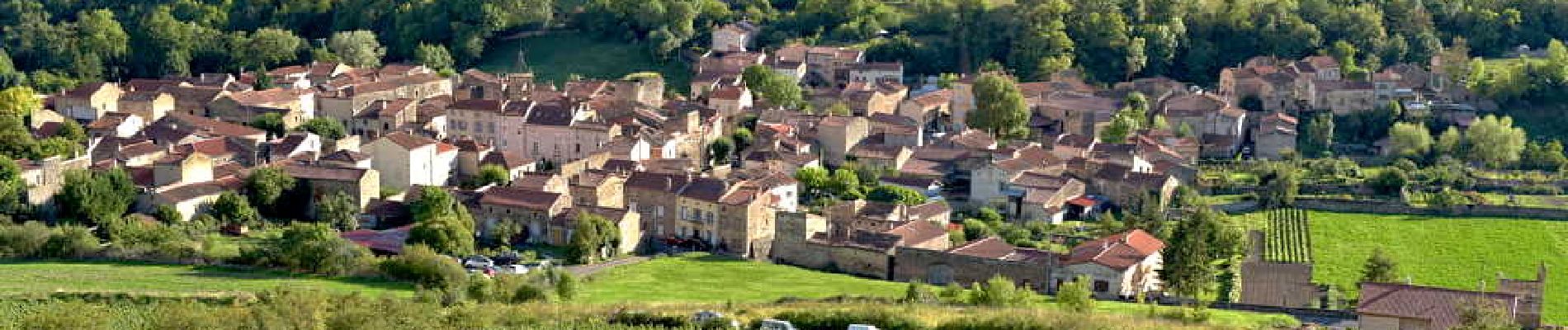
Villeneuve_Boudes_Chalus

jagarnier
User GUIDE
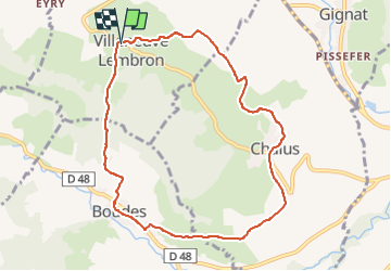


2h45
Difficulty : Medium

FREE GPS app for hiking
 SityTrail
IGN / Geographical institutes
SityTrail Plus
The world is yours!
About
Trail Walking of 8.9 km to be discovered at Auvergne-Rhône-Alpes, Puy-de-Dôme, Villeneuve. This trail is proposed by jagarnier.
Description
Trois villages, Villeneuve, Boudes et Chalus, marqués dans leurs pierres par l’ancienne puissance des seigneurs locaux : Les Chalus et les d'Aureille. Vous découvrirez aussi les vignobles en terrasses de Boudes et reviendrez comblés de ce voyage au cœur du Lembron.
Photos

Positioning
Comments