


Trefle de bray final

olivieraron
User
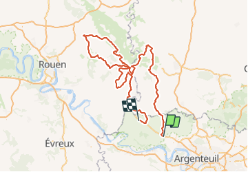

Length
281 km

Max alt
236 m

Uphill gradient
3360 m
Km-Effort
326 km

Min alt
36 m

Downhill gradient
3370 m
Boucle
No
Creation date :
2018-10-10 16:23:09.273
Updated on :
2018-10-10 16:23:09.273

FREE GPS app for hiking
 SityTrail
IGN / Geographical institutes
SityTrail Plus
The world is yours!
About
Trail of 281 km to be discovered at Ile-de-France, Val-d'Oise, Sagy. This trail is proposed by olivieraron.


Positioning
Country:
France
Region :
Ile-de-France
Department/Province :
Val-d'Oise
Municipality :
Sagy
Location:
Unknown
Start:(Dec)
Start:(UTM)
425700 ; 5435083 (31U) N.
Comments