


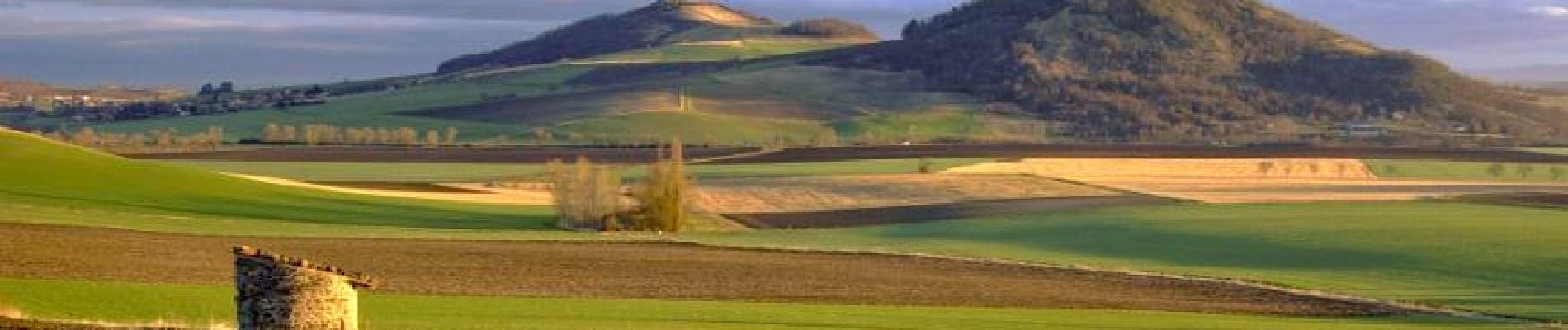
Billom_Deux_Turluron

jagarnier
User GUIDE


3h15
Difficulty : Medium

FREE GPS app for hiking
 SityTrail
IGN / Geographical institutes
SityTrail Plus
The world is yours!
About
Trail Walking of 11 km to be discovered at Auvergne-Rhône-Alpes, Puy-de-Dôme, Billom. This trail is proposed by jagarnier.
Description
Ce parcours vous permet de découvrir Billom et sa proche campagne, la petite Toscane auvergnate, dont les reliefs doux sont propices au renouveau du terroir viticole. Le bourg médiéval de Billom, traversé par l'Angaud, est riche de venelles pavées bordées de maisons à pans de bois.
Photos

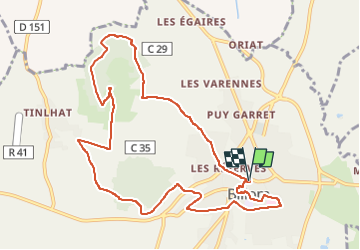
Positioning
Comments