


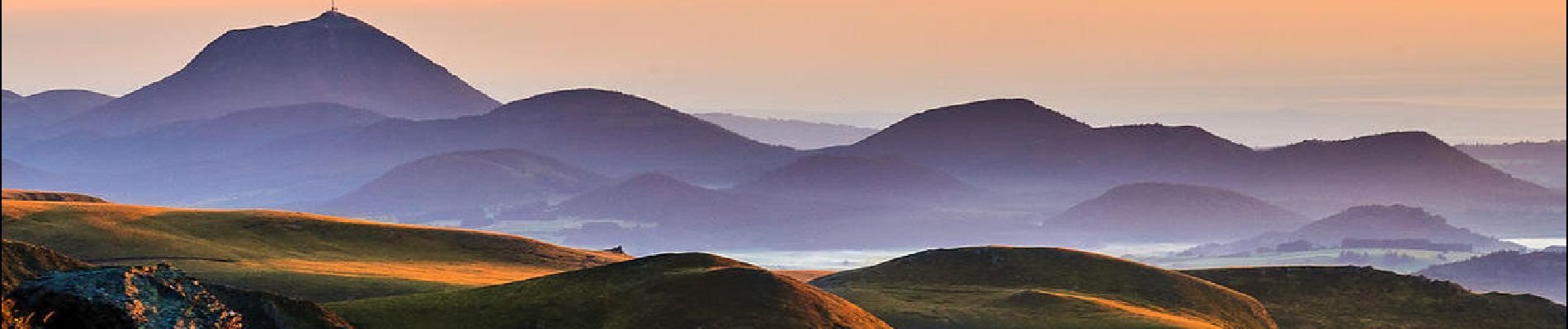
Cunlhat_Pointe_Jour_2

jagarnier
User GUIDE
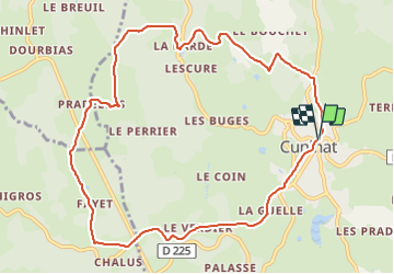

Length
10.9 km

Max alt
800 m

Uphill gradient
293 m
Km-Effort
14.8 km

Min alt
639 m

Downhill gradient
288 m
Boucle
Yes
Creation date :
2018-10-25 18:28:57.957
Updated on :
2024-01-10 07:01:14.698
3h15
Difficulty : Medium

FREE GPS app for hiking
 SityTrail
IGN / Geographical institutes
SityTrail Plus
The world is yours!
About
Trail Walking of 10.9 km to be discovered at Auvergne-Rhône-Alpes, Puy-de-Dôme, Cunlhat. This trail is proposed by jagarnier.
Photos

Positioning
Country:
France
Region :
Auvergne-Rhône-Alpes
Department/Province :
Puy-de-Dôme
Municipality :
Cunlhat
Location:
Unknown
Start:(Dec)
Start:(UTM)
543639 ; 5053411 (31T) N.
Comments