Trail Mountain bike Saint-Clément - 
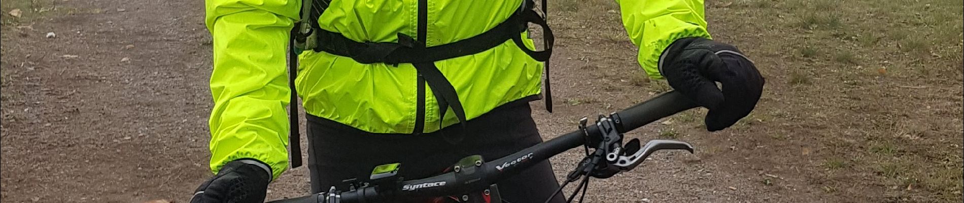
sortie vtt du 04112018 - Photo
 fabwin
fabwin

User GUIDE

© OpenStreetMap contributors
Length
Length
39 km
Max alt
Max alt
319 m
Uphill gradient
Uphill gradient
296 m
Km-Effort
Km-Effort  
43 km
Min alt
Min alt
235 m
Downhill gradient
Downhill gradient
296 m
Boucle
Boucle
Yes
Creation date :
2018-11-04 08:50:54.14
Updated on :
2018-11-04 13:52:20.781

(0 Reviews)

Mountain bike
Mountain bike
2h05
Difficulty : Easy

Scan this QR Code to open this trail in the SityTrail application

FREE GPS app for hiking

Logo SityTrail SityTrail

IGN / Geographical institutes

Download SityTrail from the App Store Download SityTrail from Google Play

Logo SityTrail SityTrail Plus

The world is yours!

Download SityTrail from the App Store Download SityTrail from Google Play Download SityTrail on Huawei AppGallery

About

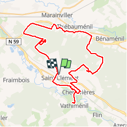
Trail Mountain bike of 39 km to be discovered at Grand Est, Meurthe-et-Moselle, Saint-Clément. This trail is proposed by fabwin.

Description

Sortie vtt sous le brouillard, dans le brouillard et avec du brouillard!!
Avec 1°c, on va pouvoir passer aux habits d'hiver.
2 rencontres avec des chasseurs dont une  où l'on s'aperçoit qu'il y a encore du travail pour faire comprendre que la nature est à tout le monde et qu'il est possible de la partager intelligemment.

Elevation profile

Photos

Positioning

Country:
France
Region :
Grand Est
Department/Province :
Meurthe-et-Moselle
Municipality :
Saint-Clément
Location:
Unknown
Start:(UTM)
323024 ; 5378534 (32U) N.


Close
My subscriptions