


Gouffre de rouge terre

nicolasdresse
User
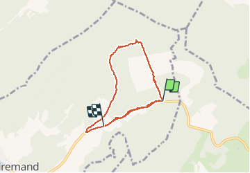

Length
6.8 km

Max alt
389 m

Uphill gradient
116 m
Km-Effort
8.5 km

Min alt
297 m

Downhill gradient
176 m
Boucle
No
Creation date :
2018-11-18 15:24:00.0
Updated on :
2018-11-18 17:56:28.235
1h56
Difficulty : Unknown

FREE GPS app for hiking
 SityTrail
IGN / Geographical institutes
SityTrail Plus
The world is yours!
About
Trail Walking of 6.8 km to be discovered at Bourgogne-Franche-Comté, Haute-Saône, Fondremand. This trail is proposed by nicolasdresse.
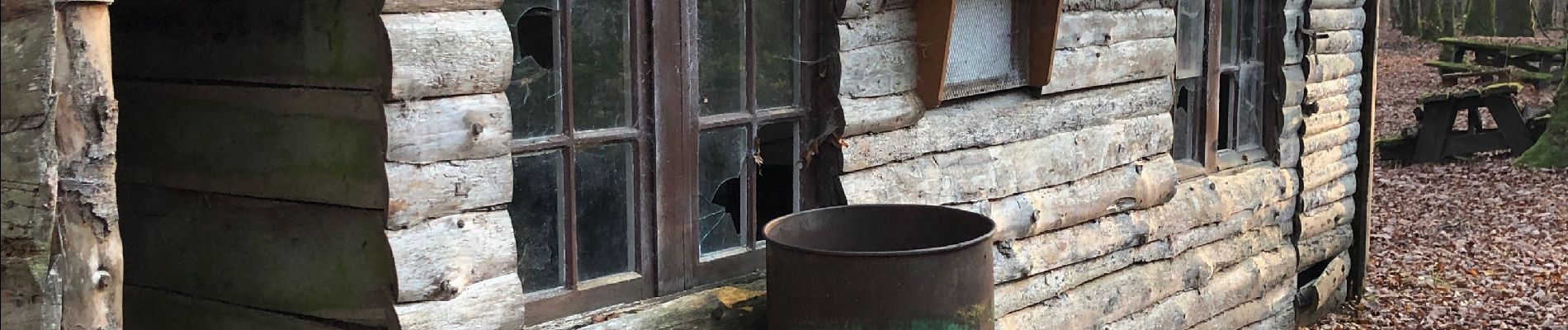
Photos


Positioning
Country:
France
Region :
Bourgogne-Franche-Comté
Department/Province :
Haute-Saône
Municipality :
Fondremand
Location:
Unknown
Start:(Dec)
Start:(UTM)
278880 ; 5263339 (32T) N.
Comments