


activity_3184198477

fabwin
User GUIDE


2h52
Difficulty : Very difficult

FREE GPS app for hiking
 SityTrail
IGN / Geographical institutes
SityTrail Plus
The world is yours!
About
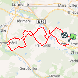
Trail Mountain bike of 38 km to be discovered at Grand Est, Meurthe-et-Moselle, Saint-Clément. This trail is proposed by fabwin.
Description
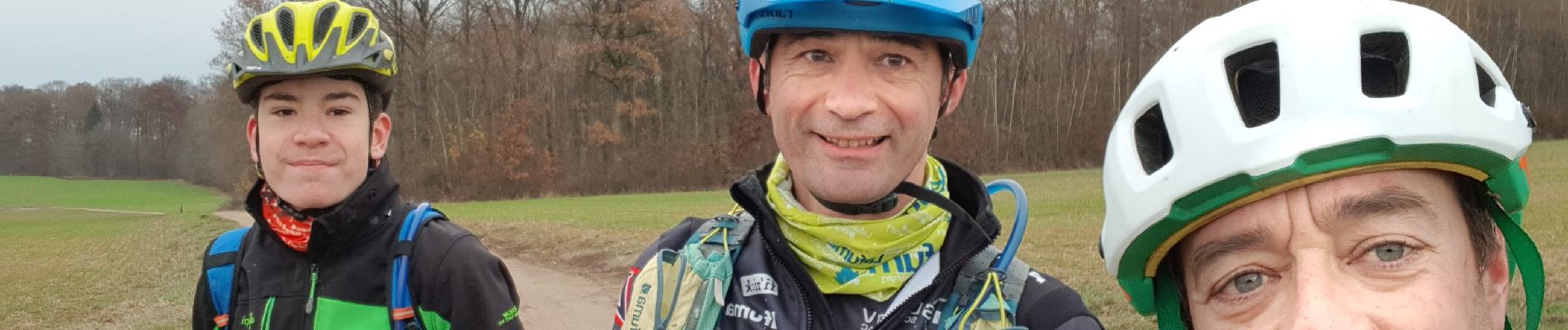
Avec Séb et Luca.
38km et 346m de D .
Un petit peu de soleil au départ et un grand soleil au retour, n'est-ce pas Luca!!! ;););)
On a découvert quelques chemins qu'on ne connaissait pas.
Un retour plus roulant mené à belle allure ou l'aspiration en a aidée certain.
Bref ce fut sympa!!
Photos


Positioning
Comments