


TRK000

Philindy26
User


4h00
Difficulty : Difficult

FREE GPS app for hiking
 SityTrail
IGN / Geographical institutes
SityTrail Plus
The world is yours!
About
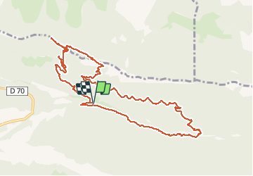
Trail Walking of 12.3 km to be discovered at Auvergne-Rhône-Alpes, Drôme, Saou. This trail is proposed by Philindy26.
Description
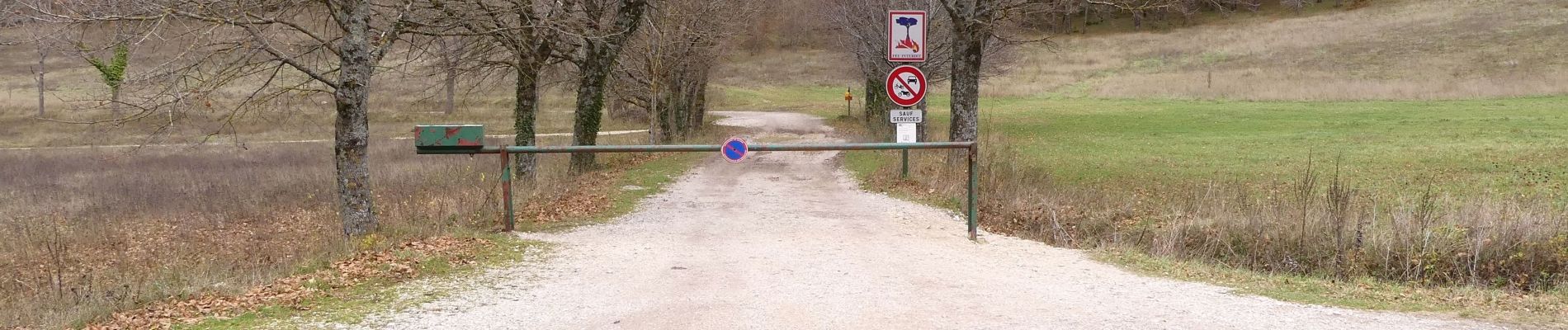
Départ du parking "Les Sables Blancs" (415m) en Forêt de Saoû...
Géolocalisation (Google Maps) : https://goo.gl/maps/JzKztrWRXuaQjWUb6 .
Montée par la carrière des sables blancs (430 m), la piste et le pas Court (690 m).
Juste avant le pas, je parcours un aller-retour au pied de la falaise, pratiquement jusqu'au pas de Saint-Michel.
De retour au pas Court, je rejoins la Chapelle Saint-Médard (858 m).
Descente par le pas Long (ATTENTION DANGER : ouah!!!, être très attentif dans la descente…) jusqu'au Chênes Est (500 m).
Je remonte la Piste vers l'Est jusqu'au sentier des Muletiers (650 m), puis descente sur l'Auberge des Dauphins par le chemin de la Grande Combe (480 m), passage par le Pont en Béton (480 m).
Retour par le sentier rive gauche jusqu'au Pont de Pézillet (415 m) et le parking.
Photos


Positioning
Comments