Trail Walking Molveno - Ref Altissimo - Graffer - Photo
 GAPIAN43
GAPIAN43

User

© OpenStreetMap contributors
Length
Length
9.1 km
Max alt
Max alt
2451 m
Uphill gradient
Uphill gradient
1261 m
Km-Effort
Km-Effort  
23 km
Min alt
Min alt
1434 m
Downhill gradient
Downhill gradient
436 m
Boucle
Boucle
No
Creation date :
2018-12-19 09:40:33.177
Updated on :
2019-07-26 14:35:50.853

(0 Reviews)

Walking
Walking
4h54
Difficulty : Difficult

Scan this QR Code to open this trail in the SityTrail application

FREE GPS app for hiking

Logo SityTrail SityTrail

IGN / Geographical institutes

Download SityTrail from the App Store Download SityTrail from Google Play

Logo SityTrail SityTrail World

The world is yours!

Download SityTrail from the App Store Download SityTrail from Google Play Download SityTrail on Huawei AppGallery

About

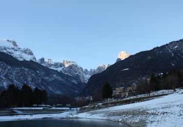
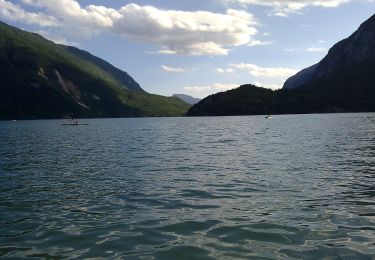
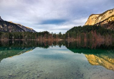
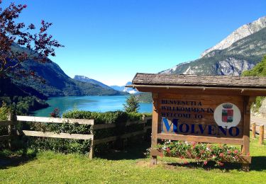
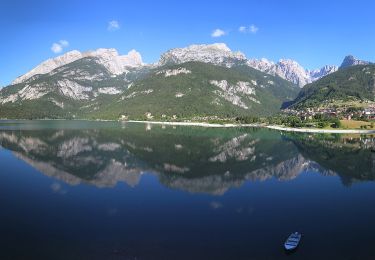
Trail Walking of 9.1 km to be discovered at Trentino-Alto Adige/Südtirol, Provincia di Trento, Molveno. This trail is proposed by GAPIAN43.

Description

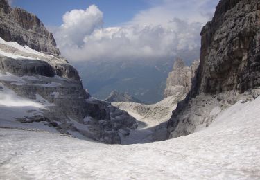
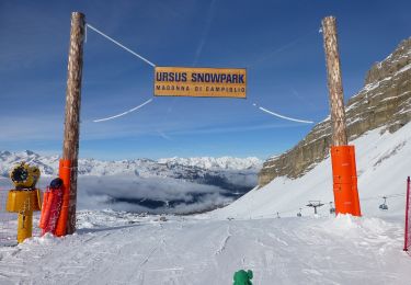
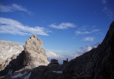
Brenta 2019 - Jour 2 - Rif Crozz -> Rif Graffer. Un passage difficile ensuite moyen. Très sauvage pas de végétation. Temps de marche environ 6h

Elevation profile

Positioning

Country:
Italy
Region :
Trentino-Alto Adige/Südtirol
Department/Province :
Provincia di Trento
Municipality :
Molveno
Location:
Unknown
Start:(UTM)
649097 ; 5114814 (32T) N.

Trails nearby

Trail On foot Molveno - Senter de la Mars - Photo
On foot
PRO

On foot

Easy
Molveno, Trentino-Alto Adige/Südtirol, Provincia di Trento, Italy
5.1 km | 13.4 km-effort
3h 2min
No
Trail On foot Ville d'Anaunia - Via ferrata delle Bocchette
On foot
PRO

On foot

Easy
Ville d'Anaunia, Trentino-Alto Adige/Südtirol, Provincia di Trento, Italy
4.9 km | 11.1 km-effort
2h 30min
No
Trail On foot Ville d'Anaunia - Via ferrata delle Palete - Photo
On foot
PRO

On foot

Medium
Ville d'Anaunia, Trentino-Alto Adige/Südtirol, Provincia di Trento, Italy
12.4 km | 25 km-effort
5h 38min
No
Trail On foot San Lorenzo Dorsino - Sentiero della Ceda - Photo
On foot
PRO

On foot

Medium
San Lorenzo Dorsino, Trentino-Alto Adige/Südtirol, Provincia di Trento, Italy
5.9 km | 20 km-effort
4h 35min
No
Trail On foot Tre Ville - Via ferrata alpinistica
On foot
PRO

On foot

Easy
Tre Ville, Trentino-Alto Adige/Südtirol, Provincia di Trento, Italy
3.9 km | 11.5 km-effort
2h 36min
No
Trail On foot Molveno - IT-O314 - Photo
On foot
PRO

On foot

Medium
Molveno, Trentino-Alto Adige/Südtirol, Provincia di Trento, Italy
12.8 km | 23 km-effort
5h 10min
No
Trail On foot Cavedago - IT-O352 - Photo
On foot
PRO

On foot

Easy
Cavedago, Trentino-Alto Adige/Südtirol, Provincia di Trento, Italy
5.4 km | 8.7 km-effort
1h 58min
No
Trail On foot Molveno - IT-O612 - Photo
On foot
PRO

On foot

Medium
Molveno, Trentino-Alto Adige/Südtirol, Provincia di Trento, Italy
9.2 km | 21 km-effort
4h 47min
No
Trail On foot Tre Ville - Via Ferrata
On foot
PRO

On foot

Easy
Tre Ville, Trentino-Alto Adige/Südtirol, Provincia di Trento, Italy
6.2 km | 13.8 km-effort
3h 8min
No


Close
My subscriptions