


G1, La Bresse

albert39
User


3h51
Difficulty : Difficult

FREE GPS app for hiking
 SityTrail
IGN / Geographical institutes
SityTrail Plus
The world is yours!
About
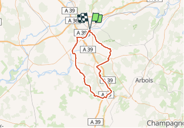
Trail Cycle of 89 km to be discovered at Bourgogne-Franche-Comté, Jura, Dole. This trail is proposed by albert39.
Description
Groupe de 15, départ du parc Isis, direction Belmont, Bans, Villers-Robert, Séligney, Bretenières, Bersaillin, Foulnay, Les Deux-Fays, Pleure, Chaussin, Champdivers, Tavaux, retour canal. Circuit exigent et rouleur.
Positioning
Comments