


z rando dans les vignes 15-01-19

cb8310
User
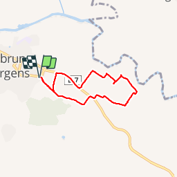

Length
5.9 km

Max alt
30 m

Uphill gradient
39 m
Km-Effort
6.4 km

Min alt
4 m

Downhill gradient
39 m
Boucle
Yes
Creation date :
2019-01-15 14:03:45.237
Updated on :
2019-01-17 17:01:01.057
1h38
Difficulty : Very easy

FREE GPS app for hiking
 SityTrail
IGN / Geographical institutes
SityTrail Plus
The world is yours!
About
Trail Walking of 5.9 km to be discovered at Provence-Alpes-Côte d'Azur, Var, Roquebrune-sur-Argens. This trail is proposed by cb8310.
Description
petite rando sympa à travers les vignes et sans aucune difficulté
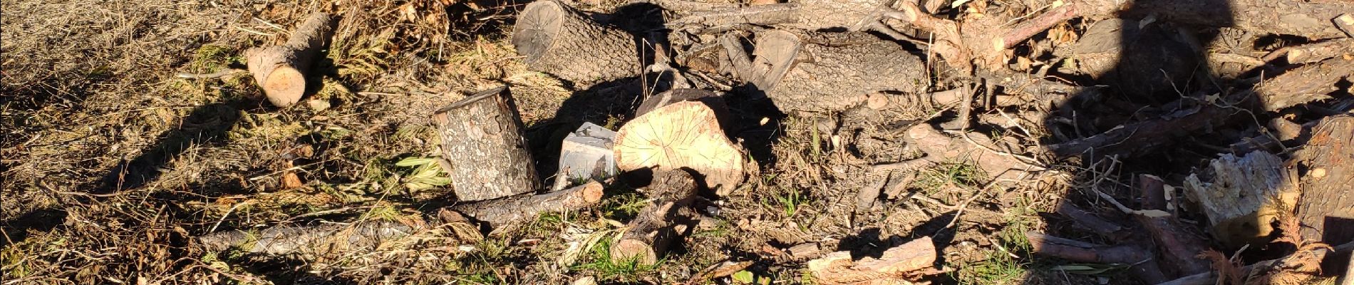
Photos


Positioning
Country:
France
Region :
Provence-Alpes-Côte d'Azur
Department/Province :
Var
Municipality :
Roquebrune-sur-Argens
Location:
Unknown
Start:(Dec)
Start:(UTM)
309524 ; 4812503 (32T) N.
Comments