


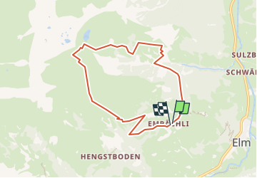

5.6 km | 15.9 km-effort


User


FREE GPS app for hiking
 SityTrail
IGN / Geographical institutes
SityTrail World
The world is yours!
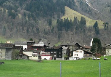
Trail Other activity of 7.3 km to be discovered at Glarus, Unknown, Glarus Süd. This trail is proposed by jschna.
Der Aufstieg rechts herum ist sehr steil. Die Landschaft sehr schön und interessant. Auf dem höchsten Punkt ein Pic-Nic (eine halbe Stunde)und dann der Abstieg über das Oberämpachli ist dann nicht mehr so steil, sogar sehr angenehm.
On foot
On foot
On foot
On foot

Walking

Mountain bike
Walking
Walking

Other activity