Trail Other activity Spiringen - Clariden - Höhenweg - Photo

Clariden - Höhenweg

 jschna
jschna

User

© OpenStreetMap contributors
Length
Length
8.1 km
Max alt
Max alt
2128 m
Uphill gradient
Uphill gradient
333 m
Km-Effort
Km-Effort  
12.7 km
Min alt
Min alt
1924 m
Downhill gradient
Downhill gradient
378 m
Boucle
Boucle
No
Creation date :
2014-12-11 00:00:00.0
Updated on :
2014-12-11 00:00:00.0

(0 Reviews)

Other activity
Other activity
--
Difficulty : Unknown

Scan this QR Code to open this trail in the SityTrail application

FREE GPS app for hiking

Logo SityTrail SityTrail

IGN / Geographical institutes

Download SityTrail from the App Store Download SityTrail from Google Play

Logo SityTrail SityTrail Plus

The world is yours!

Download SityTrail from the App Store Download SityTrail from Google Play Download SityTrail on Huawei AppGallery

About

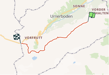
Trail Other activity of 8.1 km to be discovered at Uri, Unknown, Spiringen. This trail is proposed by jschna.

Description

Vom Fisetenpass westwärts mit einem kurzen Aufstieg auf Ober Orthalten, gemütlich weiter zum Hasentrittli und dann abwärts zum Gemsfairenhüttli auf 1951 M (1 Std.) Weiter unter die Nordwand des Clariden, das heisst über die Follen zu den Wasserfassungen des Kraftwerds Linth-Limmern, weiter durchs Firenband mit kühnem Tiefblick in die Klus und übers Clariden-Bödemli zum Klausenpass

Elevation profile

Positioning

Country:
Switzerland
Region :
Uri
Department/Province :
Unknown
Municipality :
Spiringen
Location:
Unknown
Start:(UTM)
494810 ; 5192405 (32T) N.


Close
My subscriptions