


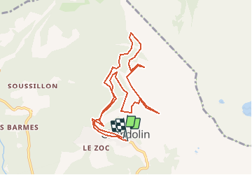


11.5 km | 19.5 km-effort


User


FREE GPS app for hiking
 SityTrail
IGN / Geographical institutes
SityTrail World
The world is yours!
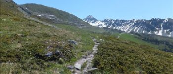
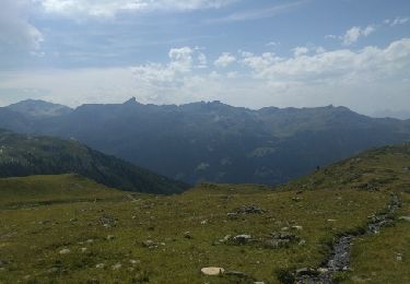
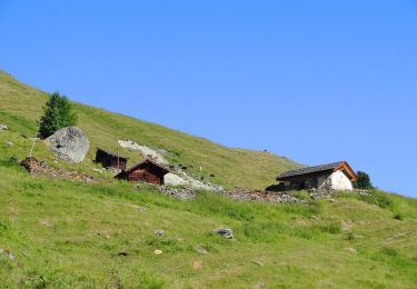
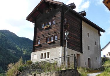
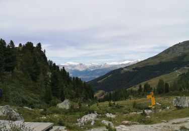
Trail Walking of 9.7 km to be discovered at Valais/Wallis, Sierre, Anniviers. This trail is proposed by duamerg.
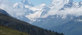
Belle ballade avec de magnifiques vues sur les alpes.
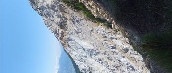
La partie vers Illgraben est très raide et n'est pas adaptée aux personnes mal chaussées ou n'ayant pas le pieds très sur.


Walking

On foot
On foot

Walking
On foot
Walking
Nordic walking

On foot
On foot