


z tdm 25-01-19

cb8310
User

Length
6.8 km

Max alt
113 m

Uphill gradient
116 m
Km-Effort
8.4 km

Min alt
39 m

Downhill gradient
117 m
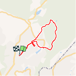
Boucle
Yes
Creation date :
2019-01-25 13:32:05.509
Updated on :
2019-01-29 08:50:55.358
2h03
Difficulty : Easy

FREE GPS app for hiking
 SityTrail
IGN / Geographical institutes
SityTrail Plus
The world is yours!
About
Trail Walking of 6.8 km to be discovered at Provence-Alpes-Côte d'Azur, Var, Fréjus. This trail is proposed by cb8310.
Description
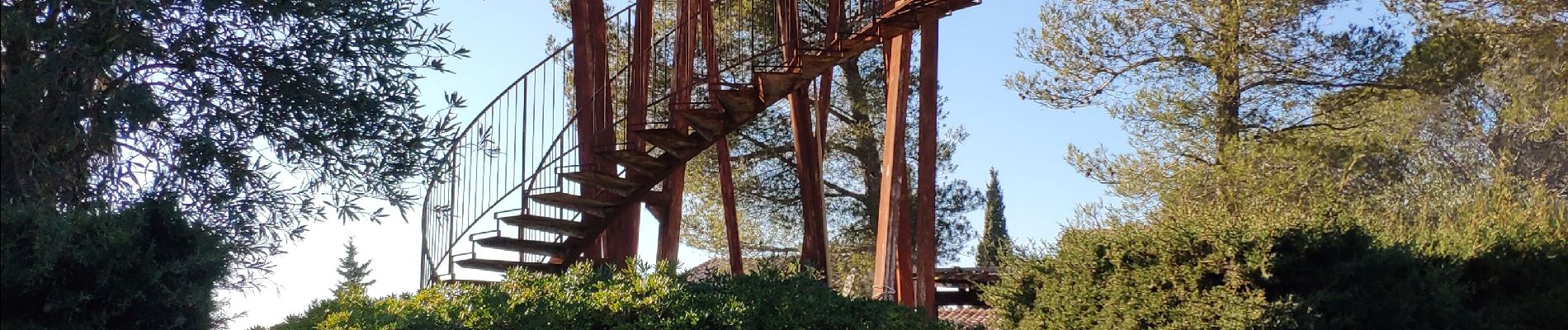
découverte tranquille des sentiers de La Tour de Mare à Fréjus
Photos


Positioning
Country:
France
Region :
Provence-Alpes-Côte d'Azur
Department/Province :
Var
Municipality :
Fréjus
Location:
Unknown
Start:(Dec)
Start:(UTM)
318744 ; 4813834 (32T) N.
Comments