


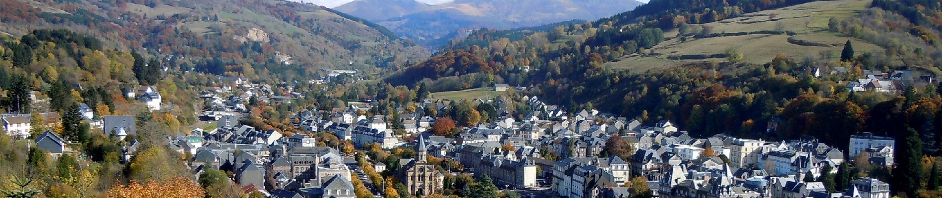
Bourboule_Roche_Fees

jagarnier
User GUIDE
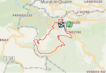

Length
7.7 km

Max alt
1154 m

Uphill gradient
388 m
Km-Effort
12.9 km

Min alt
848 m

Downhill gradient
389 m
Boucle
Yes
Creation date :
2019-02-08 09:06:32.932
Updated on :
2025-02-05 07:15:05.707
2h15
Difficulty : Medium

FREE GPS app for hiking
 SityTrail
IGN / Geographical institutes
SityTrail Plus
The world is yours!
About
Trail Walking of 7.7 km to be discovered at Auvergne-Rhône-Alpes, Puy-de-Dôme, La Bourboule. This trail is proposed by jagarnier.
Photos

Positioning
Country:
France
Region :
Auvergne-Rhône-Alpes
Department/Province :
Puy-de-Dôme
Municipality :
La Bourboule
Location:
Unknown
Start:(Dec)
Start:(UTM)
479667 ; 5048029 (31T) N.
Comments