


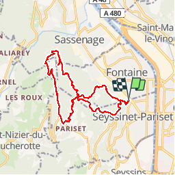

6.2 km | 13.3 km-effort

User


FREE GPS app for hiking
 SityTrail
IGN / Geographical institutes
SityTrail World
The world is yours!
Trail Walking of 16.8 km to be discovered at Auvergne-Rhône-Alpes, Isère, Fontaine. This trail is proposed by Ninie38MD.
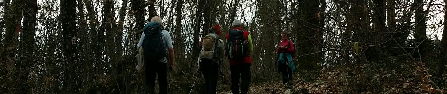
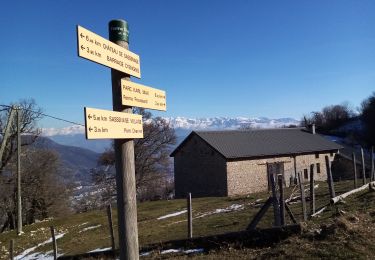
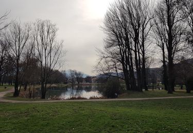
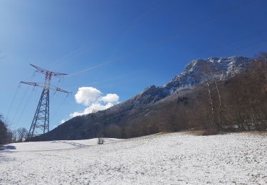
boucle dans les vouillands au départ du parc Karl Marx vers plateau Charvet puis vers la cabane de Laura temps incertain mais ça a tenu jusqu'au voitures 6 pers den : 970m
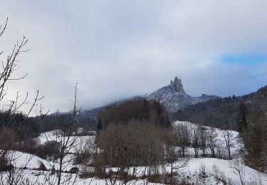
encore un peu de neige sur le plateau ( on est passé par le "pull" )


Walking
Nordic walking
Nordic walking
Walking
Mountain bike

Running

Walking

Mountain bike

Mountain bike
Belle boucle ! Itinéraire intéressant.