


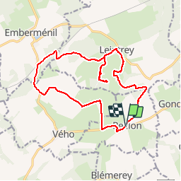


18.3 km | 22 km-effort


User


FREE GPS app for hiking
 SityTrail
IGN / Geographical institutes
SityTrail World
The world is yours!
Trail Walking of 17.6 km to be discovered at Grand Est, Meurthe-et-Moselle, Reillon. This trail is proposed by MMarie.
Topo-Guide N°9
La Lorraine à pied
7 Juillet 2013
Sentiers non entretenus
 - Photo 1")
 - Photo 2")
 - Photo 3")
 - Photo 4")
 - Photo 5")
 - Photo 6")
 - Photo 7")
 - Photo 8")
 - Photo 9")

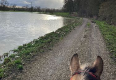
Horseback riding
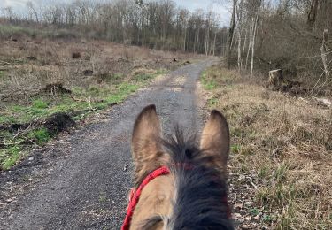
Horseback riding
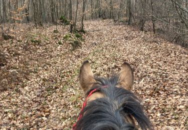
Horseback riding
Horseback riding

Horseback riding
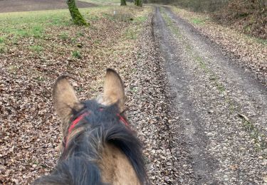
Horseback riding
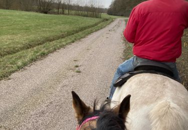
Horseback riding
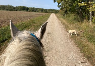
Horseback riding
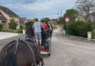
Coupling