Trail Walking Saint-Pierre - Piton Mont Vert 20190217 SH - Photo

Piton Mont Vert 20190217 SH

 YCDBSOYA
YCDBSOYA

User

© OpenStreetMap contributors
Length
Length
2.3 km
Max alt
Max alt
622 m
Uphill gradient
Uphill gradient
103 m
Km-Effort
Km-Effort  
3.7 km
Min alt
Min alt
533 m
Downhill gradient
Downhill gradient
103 m
Boucle
Boucle
Yes
Creation date :
2019-02-17 06:56:16.0
Updated on :
2019-02-21 09:10:28.131

(1 Reviews)

Walking
Walking
1h42
Difficulty : Medium

Scan this QR Code to open this trail in the SityTrail application

FREE GPS app for hiking

Logo SityTrail SityTrail

IGN / Geographical institutes

Download SityTrail from the App Store Download SityTrail from Google Play

Logo SityTrail SityTrail Plus

The world is yours!

Download SityTrail from the App Store Download SityTrail from Google Play Download SityTrail on Huawei AppGallery

About

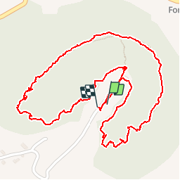
Trail Walking of 2.3 km to be discovered at Réunion, Unknown, Saint-Pierre. This trail is proposed by YCDBSOYA.

Description

Piton Mont Vert V1
Le circuit débute sur la gauche derrière le kiosque du parking dans le sens horaire du tracé (SH).
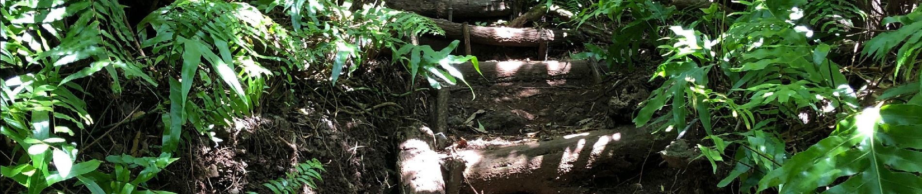
Attention ! une portion du circuit est constituée d'une montée rectiligne agrémentée de marches sur une dénivelée de 50 mètres de 40 à 90 mètres de la dénivelée mesurée.
C'est la seule portion un peu difficile du trajet.
Sur la dernière section du parcours on trouve des points de vue sur l'océan en direction de Grand bois, puis un peu plus loin des points de vue sur Saint Pierre.

Elevation profile

Photos

Positioning

Country:
France
Region :
Réunion
Department/Province :
Unknown
Municipality :
Saint-Pierre
Location:
Unknown
Start:(UTM)
348668 ; 7640771 (40K) S.

Comments

Please log in to post a review or rate the element


Merci pour votre belle randonnée avec photos.


Close
My subscriptions