


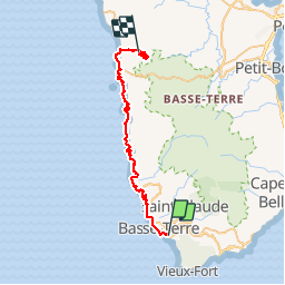

13.5 km | 25 km-effort

User


FREE GPS app for hiking
 SityTrail
IGN / Geographical institutes
SityTrail World
The world is yours!
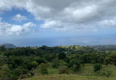
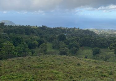
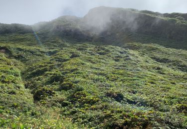
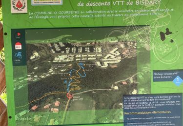
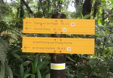
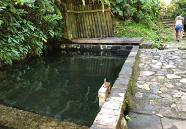
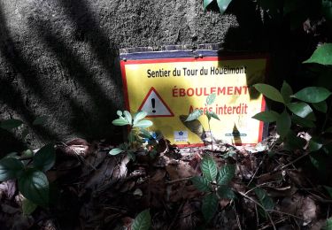
Trail Walking of 51 km to be discovered at Guadeloupe, Unknown, Basse-Terre. This trail is proposed by adec.


Trail
Running
Trail
Nordic walking
Trail
Trail

Running
Walking