


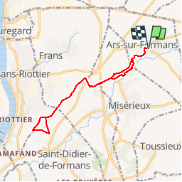
Ars-Sur-Formans (13,5 km)

Thomasdanielle
User


3h25
Difficulty : Medium

FREE GPS app for hiking
 SityTrail
IGN / Geographical institutes
SityTrail Plus
The world is yours!
About
Trail Walking of 13.5 km to be discovered at Auvergne-Rhône-Alpes, Ain, Ars-sur-Formans. This trail is proposed by Thomasdanielle.
Description
D/A : Parking Place Freilhalden
Prendre la rue des Muriers, tourner à gauche dans un petite passage piétons entre les maisons juste avant l'allée de la Rocaille, suivre le GPS jusqu'à la salle polyvalente. Puis continuer le long du camping. Atteindre le bois de Cibeins, en suivant le tracé du GPS jusqu'au Lycée de Cibeins, puis reprendre le GPS pour poursuivre la randonnée, pour retrouver le plateau en direction de de Jassans, faire une boucle et retourner sur les pas. (Par grosse chaleur il fait très chaud sur ce plateau il n'y a pas d'ombre).
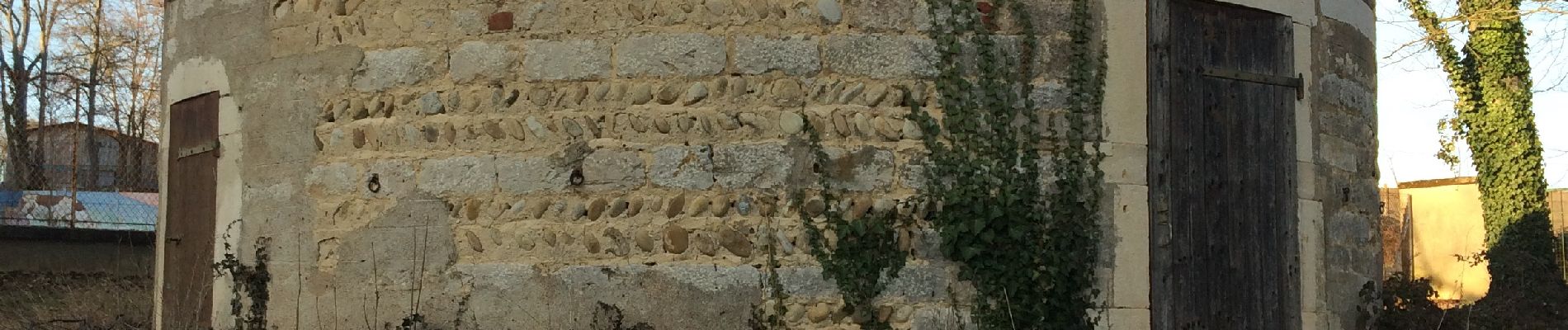
Photos
 - Photo 1")
 - Photo 2")
 - Photo 3")
Positioning
Comments