


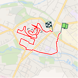


5.4 km | 6.4 km-effort

User


FREE GPS app for hiking
 SityTrail
IGN / Geographical institutes
SityTrail World
The world is yours!
Trail On foot of 4.6 km to be discovered at Hauts-de-France, Oise, Senlis. This trail is proposed by GR77LP.
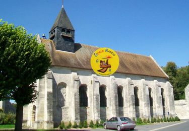
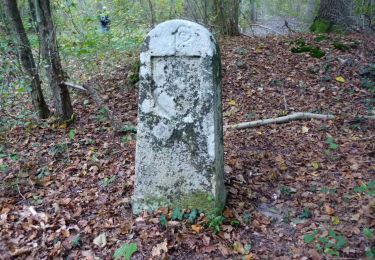
 - Photo 1")
Walking
Walking

Walking

Walking

On foot

On foot

Walking
Walking

Walking