


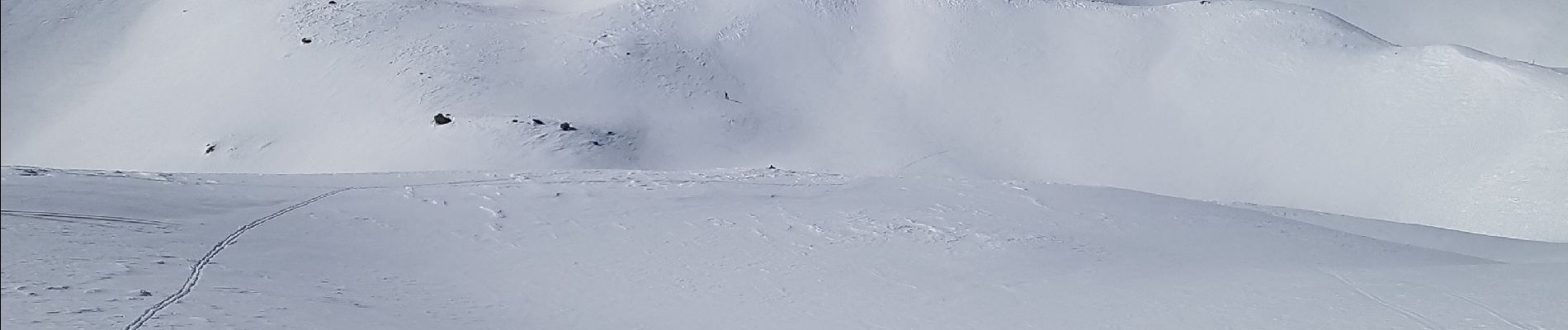
lac des neyzets

lboubis
User
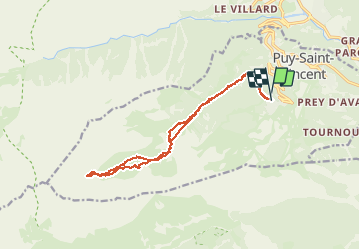

Length
15.3 km

Max alt
2730 m

Uphill gradient
1105 m
Km-Effort
30 km

Min alt
1699 m

Downhill gradient
1100 m
Boucle
Yes
Creation date :
2019-03-03 06:37:57.744
Updated on :
2019-03-03 13:17:27.34
6h06
Difficulty : Very easy

FREE GPS app for hiking
 SityTrail
IGN / Geographical institutes
SityTrail Plus
The world is yours!
About
Trail Touring skiing of 15.3 km to be discovered at Provence-Alpes-Côte d'Azur, Hautes-Alpes, Puy-Saint-Vincent. This trail is proposed by lboubis.
Photos

Positioning
Country:
France
Region :
Provence-Alpes-Côte d'Azur
Department/Province :
Hautes-Alpes
Municipality :
Puy-Saint-Vincent
Location:
Unknown
Start:(Dec)
Start:(UTM)
300867 ; 4965995 (32T) N.
Comments