


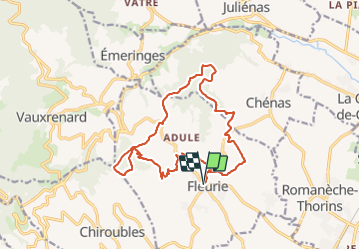
Fleurie (Rhône) 16 km - D. 488 m

Thomasdanielle
User

Length
16.4 km

Max alt
521 m

Uphill gradient
488 m
Km-Effort
23 km

Min alt
269 m

Downhill gradient
488 m
Boucle
Yes
Creation date :
2019-03-04 09:23:28.0
Updated on :
2021-09-30 04:36:03.726
4h36
Difficulty : Medium

FREE GPS app for hiking
 SityTrail
IGN / Geographical institutes
SityTrail Plus
The world is yours!
About
Trail Walking of 16.4 km to be discovered at Auvergne-Rhône-Alpes, Rhône, Fleurie. This trail is proposed by Thomasdanielle.
Description
D/A parking église (attention stationnement durée de 1 h ou 24 h)
- Beau point de vue depuis la chapelle de la Madone
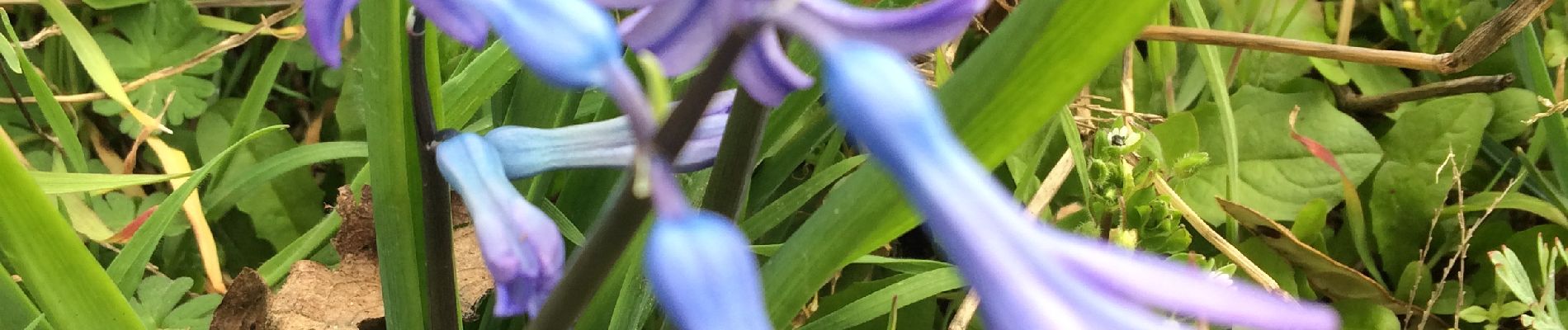
Photos
 16 km - D. 488 m - Photo 1")
Positioning
Country:
France
Region :
Auvergne-Rhône-Alpes
Department/Province :
Rhône
Municipality :
Fleurie
Location:
Unknown
Start:(Dec)
Start:(UTM)
630932 ; 5116824 (31T) N.
Comments