


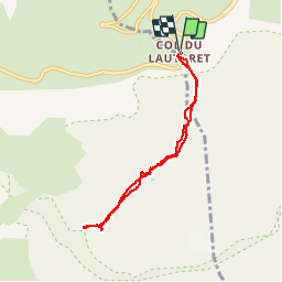

5.2 km | 12.8 km-effort


User


FREE GPS app for hiking
 SityTrail
IGN / Geographical institutes
SityTrail World
The world is yours!
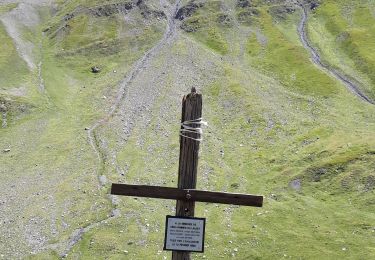
Trail Snowshoes of 6.9 km to be discovered at Provence-Alpes-Côte d'Azur, Hautes-Alpes, Le Monêtier-les-Bains. This trail is proposed by BLAIVE.
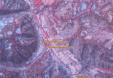
Au départ du col du Lautaret cirque magnifique à l'arrivée.

Walking
Walking
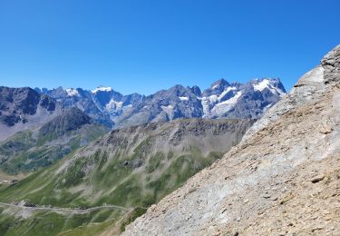
Walking

Walking
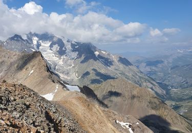
Walking

Walking
Walking

Via ferrata
Walking