


francorville

Yochka
User
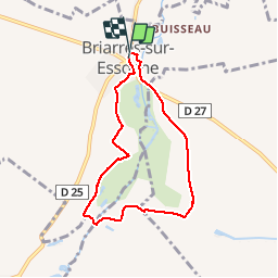

Length
6.2 km

Max alt
100 m

Uphill gradient
54 m
Km-Effort
6.9 km

Min alt
82 m

Downhill gradient
54 m
Boucle
Yes
Creation date :
2019-03-20 12:47:24.281
Updated on :
2019-03-20 14:06:41.694
1h18
Difficulty : Very easy

FREE GPS app for hiking
 SityTrail
IGN / Geographical institutes
SityTrail Plus
The world is yours!
About
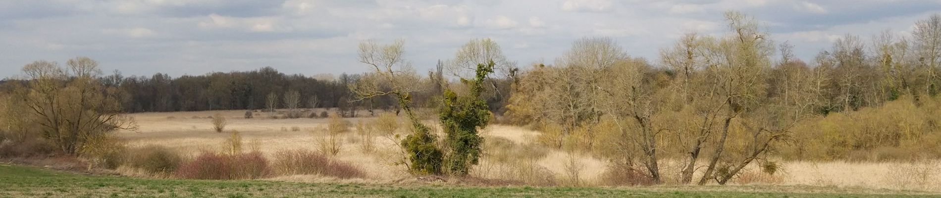
Trail Walking of 6.2 km to be discovered at Centre-Loire Valley, Loiret, Briarres-sur-Essonne. This trail is proposed by Yochka.
Photos

Positioning
Country:
France
Region :
Centre-Loire Valley
Department/Province :
Loiret
Municipality :
Briarres-sur-Essonne
Location:
Unknown
Start:(Dec)
Start:(UTM)
457474 ; 5341801 (31U) N.
Comments