


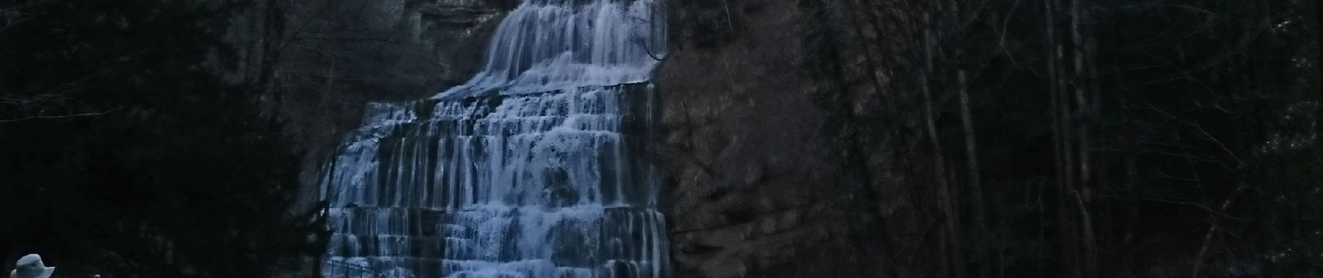
pic aigle cascades herisson

phileasy
User
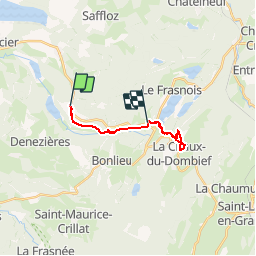

Length
14.6 km

Max alt
976 m

Uphill gradient
569 m
Km-Effort
22 km

Min alt
522 m

Downhill gradient
449 m
Boucle
No
Creation date :
2019-03-21 08:16:22.521
Updated on :
2019-03-21 17:24:30.099
5h09
Difficulty : Medium

FREE GPS app for hiking
 SityTrail
IGN / Geographical institutes
SityTrail Plus
The world is yours!
About
Trail Walking of 14.6 km to be discovered at Bourgogne-Franche-Comté, Jura, Menétrux-en-Joux. This trail is proposed by phileasy.
Photos


Positioning
Country:
France
Region :
Bourgogne-Franche-Comté
Department/Province :
Jura
Municipality :
Menétrux-en-Joux
Location:
Unknown
Start:(Dec)
Start:(UTM)
716511 ; 5167539 (31T) N.
Comments