Trail Cycle Liessies - Liessies tour français - Photo

Liessies tour français

© OpenStreetMap contributors
Length
Length
39 km
Max alt
Max alt
234 m
Uphill gradient
Uphill gradient
526 m
Km-Effort
Km-Effort  
46 km
Min alt
Min alt
164 m
Downhill gradient
Downhill gradient
526 m
Boucle
Boucle
Yes
Creation date :
2019-03-23 13:37:13.957
Updated on :
2019-03-23 13:48:09.659

(0 Reviews)

Cycle
Cycle
4h00
Difficulty : Easy

Scan this QR Code to open this trail in the SityTrail application

FREE GPS app for hiking

Logo SityTrail SityTrail

IGN / Geographical institutes

Download SityTrail from the App Store Download SityTrail from Google Play

Logo SityTrail SityTrail World

The world is yours!

Download SityTrail from the App Store Download SityTrail from Google Play Download SityTrail on Huawei AppGallery

About

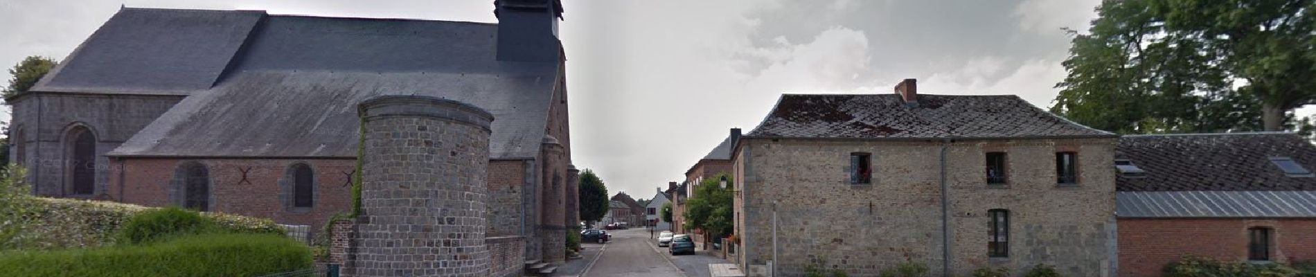
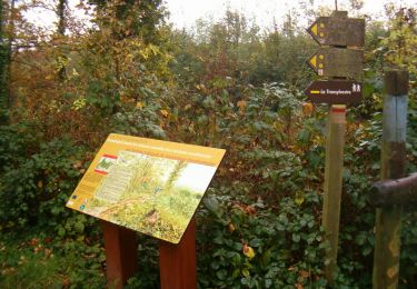
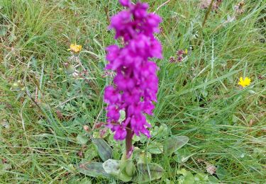
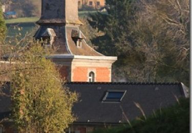
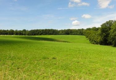
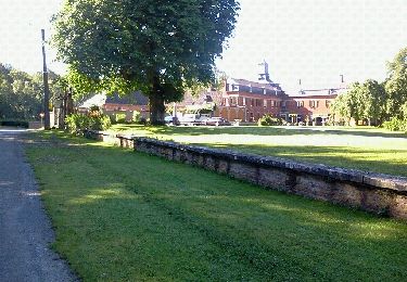
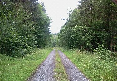
Trail Cycle of 39 km to be discovered at Hauts-de-France, Nord, Liessies. This trail is proposed by jeanphi.hennebert.

Description

Boucle via Trelon - tracé français

Elevation profile

Photos

Positioning

Country:
France
Region :
Hauts-de-France
Department/Province :
Nord
Municipality :
Liessies
Location:
Unknown
Start:(UTM)
577387 ; 5552390 (31U) N.

Trails nearby

Trail Walking Eppe-Sauvage - La Transylvestre - Photo
Walking
tracegps

Walking

Difficult
(1)
Eppe-Sauvage, Hauts-de-France, Nord, France
22 km | 27 km-effort
5h 30min
Yes
Trail Walking Felleries - felleries 17,5 km - Photo
Walking
GUIDE
rvapeldo

Walking

Easy
Felleries, Hauts-de-France, Nord, France
17.7 km | 19.9 km-effort
4h 43min
Yes
Trail Walking Trélon - entre 2 averses - Photo
Walking
brunomuffat

Walking

Easy
(1)
Trélon, Hauts-de-France, Nord, France
8.4 km | 10.1 km-effort
1h 45min
Yes
Trail Walking Liessies - Liessies  - Photo
Walking
schuyteneer

Walking

Easy
Liessies, Hauts-de-France, Nord, France
67 km | 77 km-effort
3h 56min
No
Trail Walking Willies - 20180525-Val_Joly-Tour_lac-18km - Photo
Walking
yamadix

Walking

Medium
(4)
Willies, Hauts-de-France, Nord, France
18.2 km | 23 km-effort
5h 1min
Yes
Trail Walking Eppe-Sauvage - Randonnée ornithologique du Valjoly - Photo
Walking
tracegps

Walking

Medium
Eppe-Sauvage, Hauts-de-France, Nord, France
4.1 km | 4.9 km-effort
3h 0min
Yes
Trail Walking Liessies - Week-end de randonnée autour du Val Joly - Liessies - Photo
Walking
tracegps

Walking

Difficult
Liessies, Hauts-de-France, Nord, France
44 km | 53 km-effort
11h 0min
Yes
Trail Walking Liessies - mrlobo - Photo
Walking
mrlobo59

Walking

Very easy
Liessies, Hauts-de-France, Nord, France
7.9 km | 9.3 km-effort
1h 56min
Yes
Trail Walking Liessies - mrlobo - Photo
Walking
mrlobo59

Walking

Very easy
Liessies, Hauts-de-France, Nord, France
9.2 km | 10.9 km-effort
2h 17min
Yes


Close
My subscriptions