


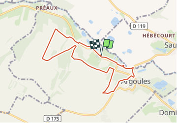
LP80_Argoules-TourValloires 8km

BAIE de SOMME & alentours
Autour de la Baie à pieds


2h06
Difficulty : Medium

FREE GPS app for hiking
 SityTrail
IGN / Geographical institutes
SityTrail Plus
The world is yours!
About
Trail Walking of 7.6 km to be discovered at Hauts-de-France, Somme, Argoules. This trail is proposed by BAIE de SOMME & alentours.
Description
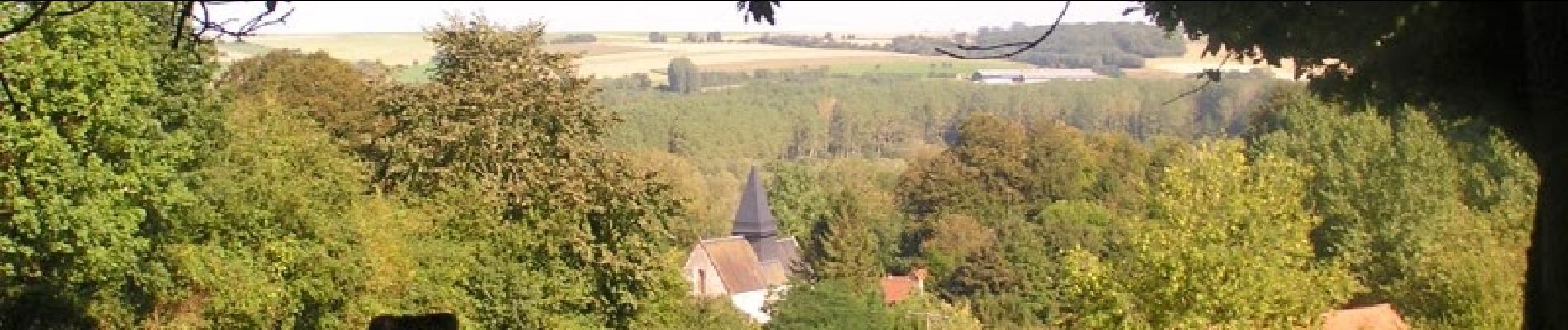
Une promenade champêtre autour d’une abbaye ancestrale et de ses splendides jardins fleuris dans la vallée de l’Authie.
extrait de : https://www.somme-tourisme.com/circuit-de-valloires/argoules/randopic0800000q
Départ/Arrivée : Parking des jardins de Valloires à Argoules
Photos

Positioning
Comments