


20190327 rando réelle Seillans

Sugg
User
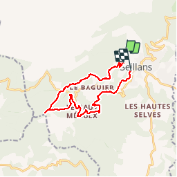

Length
14.1 km

Max alt
754 m

Uphill gradient
360 m
Km-Effort
19.2 km

Min alt
402 m

Downhill gradient
465 m
Boucle
No
Creation date :
2019-03-27 09:01:00.478
Updated on :
2019-03-27 14:40:45.768
5h37
Difficulty : Medium

FREE GPS app for hiking
 SityTrail
IGN / Geographical institutes
SityTrail Plus
The world is yours!
About
Trail Walking of 14.1 km to be discovered at Provence-Alpes-Côte d'Azur, Var, Seillans. This trail is proposed by Sugg.
Description
essai version bêta Pas mal de bug en route. ...
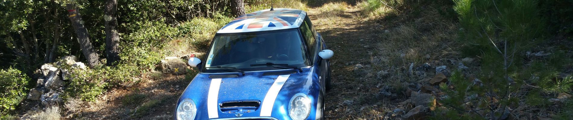
Photos


Positioning
Country:
France
Region :
Provence-Alpes-Côte d'Azur
Department/Province :
Var
Municipality :
Seillans
Location:
Unknown
Start:(Dec)
Start:(UTM)
309507 ; 4834355 (32T) N.
Comments
vivement la stabilité de cette version car aujourd'hui c'était la totale en matière de bug divers.....vivement les corrections.