


Mauves

bernadette revoux
User
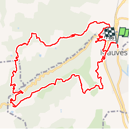

Length
14.8 km

Max alt
416 m

Uphill gradient
510 m
Km-Effort
22 km

Min alt
121 m

Downhill gradient
508 m
Boucle
Yes
Creation date :
2019-03-27 11:55:33.031
Updated on :
2019-03-27 17:48:05.31
3h51
Difficulty : Easy

FREE GPS app for hiking
 SityTrail
IGN / Geographical institutes
SityTrail Plus
The world is yours!
About
Trail Walking of 14.8 km to be discovered at Auvergne-Rhône-Alpes, Ardèche, Mauves. This trail is proposed by bernadette revoux.
Description
en suivant en marche à pied le tracé proposé par Phildu26
Nous avons à la fin suivi la petite route au lieu de passer à travers les vignes
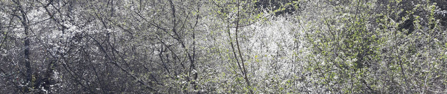
Photos


Positioning
Country:
France
Region :
Auvergne-Rhône-Alpes
Department/Province :
Ardèche
Municipality :
Mauves
Location:
Unknown
Start:(Dec)
Start:(UTM)
644127 ; 4989097 (31T) N.
Comments