


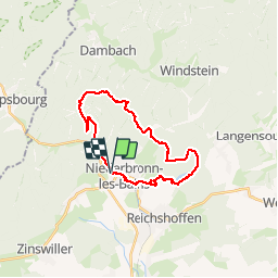
Grand Wintersberg & plan d'eau Wolfartshoffen

Claudele
User

Length
23 km

Max alt
579 m

Uphill gradient
611 m
Km-Effort
31 km

Min alt
184 m

Downhill gradient
611 m
Boucle
Yes
Creation date :
2019-03-30 07:05:28.532
Updated on :
2019-03-30 18:08:57.631
7h23
Difficulty : Difficult

FREE GPS app for hiking
 SityTrail
IGN / Geographical institutes
SityTrail Plus
The world is yours!
About
Trail Walking of 23 km to be discovered at Grand Est, Bas-Rhin, Niederbronn-les-Bains. This trail is proposed by Claudele.
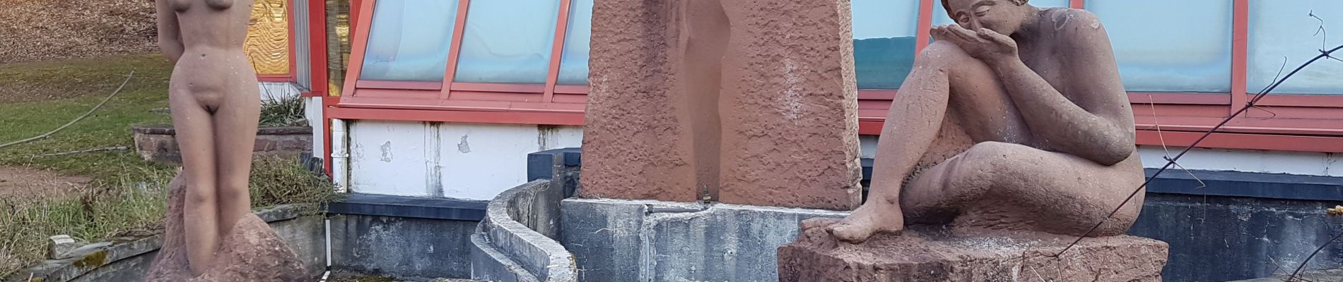
Photos


23 photos in total. Please click on a photo to see them all in the gallery.
Positioning
Country:
France
Region :
Grand Est
Department/Province :
Bas-Rhin
Municipality :
Niederbronn-les-Bains
Location:
Unknown
Start:(Dec)
Start:(UTM)
399984 ; 5423078 (32U) N.
Comments