


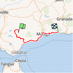
Grazalema-Zahara-Estepona- Almayate-La Herradura

jpipacific
User


5h47
Difficulty : Medium

FREE GPS app for hiking
 SityTrail
IGN / Geographical institutes
SityTrail Plus
The world is yours!
About
Trail Motorbike of 294 km to be discovered at Andalusia, Cádiz, Grazalema. This trail is proposed by jpipacific.
Description
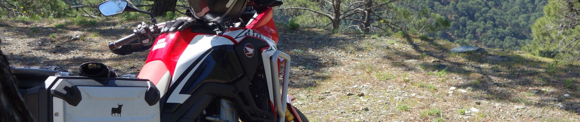
Fait avec Honda AFrica Twin CRF 1000 avril 2019
Début de ballade jusqu'à Zahara époustouflant ! Une route à couper le souffle. Étroite et sinueuse mais magnifique. Ensuite passage de différentes montagnes et villages blancs jusqu'à arriver sur la cote où nous avons fait une très bonne halte tapas à Almayate au bar TOLO.
Photos


Positioning
Comments